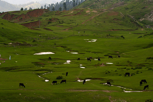
Swat Valley Pakistan:


The lush green and historic Swat Valley lies between 34°-40′ to 35° N latitude and 72′ to 74°-6′ E longitude and is part of the Provincially Administrated Tribal Area (PATA) of the North-West Frontier Province of Pakistan. The valley is an integral part of the strategic and significant region where three parts of the Asian continent–South Asia, Central Asia and China, meet.
The names found in ancient sources for Swat are Udyana and Suvastu because of the scenic beauty of the valley and the name of the river respectively.The historical and cultural remains of the area provide evidence about human activities covering a large span of time.
Alexander the Great came here in 327 BC en route India and conquered Bazira and Ora. At his departure the inhabitants of the area threw off Greek yoke, and enjoyed either independent or semi-independent status subsequently. In the meantime Buddhism penetrated here and Swat became center of Buddhist/Gandhara civilization. The Turki Shahis incorporated Swat in their kingdom but at the decline of their power it remained exposed to Hindu Shahis’ influence.
In early tenth century CE/AD, the Muslims occupied Swat. Consequently, Afghans from different tribes, commonly called Swati Pukhtun, came and settled here. They remained independent of the neighboring powers.
The Yusufzais conquered Swat in the first quarter of the sixteenth century and emerged and remained dominant segment. Instead of forming a government they lived in the tribal fashion, divided into two dalas (factions) headed by their own tribal chiefs called Khans and Malaks. The Swat Yusufzai enjoyed freedom and neither had paid taxes to Delhi or Kabul not yielded obedience to any foreign law or administrative system. They fought Akbar's mighty arms for years and incurred great losses over them.

